


Background
Habitat maps are valuable spatial decision-support tools that inform and assist the sustainable use of marine space using an ecosystem-based approach. Marine habitat mapping aims to gain a holistic representation of key marine habitats, their associated biological communities, their areal extent, distribution patterns, status, and physical conditions. They can be used to design monitoring programmes to assess environmental status including the effect of anthropogenic pressures on marine resources and ecosystem services, to identify and plan new networks of marine protected areas (MPAs) and areas for restoration, and for planning the development of new economic activities at sea by informing marine spatial planning.
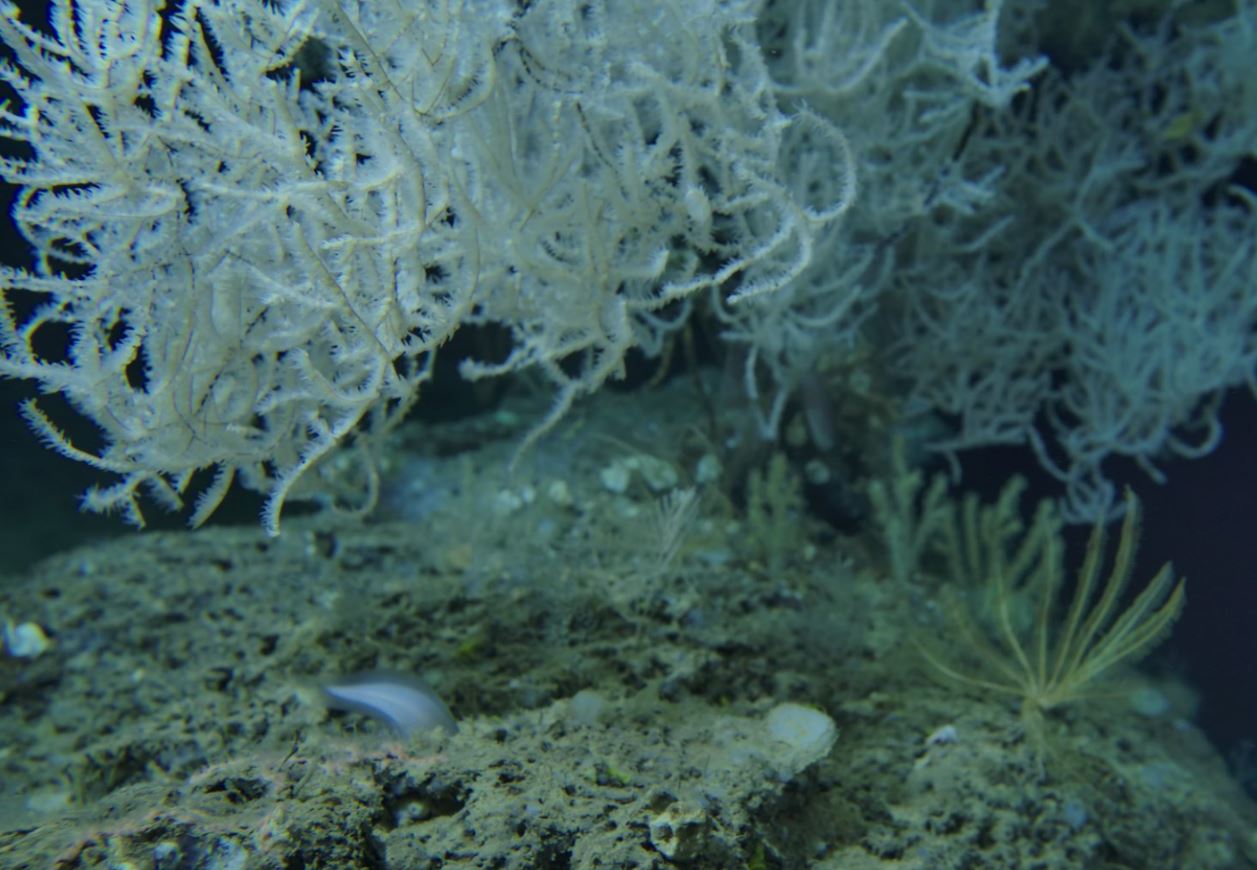
Despite many efforts in marine habitat mapping, our knowledge of marine ecosystem status in Europe is still limited, and for many habitats it is still unknown. There is room for improvement, particularly in developing higher-resolution maps that can be enabled using new technologies and improved data quality. Methods for habitat mapping are rapidly evolving. Most efforts to date have focused on geological seabed mapping techniques to measure morphology including multibeam echosounder and seismic surveying techniques, remote sensing, in situ sampling, and predictive habitat suitability modelling, which uses physical and chemical data to infer benthic habitat distribution. Machine learning and big data are also increasingly being used in marine habitat mapping. There is however a lack of standardized methods for biological habitat mapping. Adopting a more biologically-based approach to habitat mapping could help to detect environmental change, reduce the cost of monitoring programmes, and help with environmental impact assessments, marine spatial planning, and with developing coherent networks of MPAs based on ecosystem connectivity. An integrated approach to the definition of habitats is needed, however benthic and pelagic habitats are typically considered independent of each other. Mapping the complexity of benthic and pelagic habitats and entire ecosystems, including their species, communities and interlinkages, such as benthic-pelagic coupling, is a priority so that marine policies and management plans can be based on the structure and function of ecosystems in four-dimensions, i.e. over time.
This working group provides input to the UN Decade of Ocean Science for Sustainable Development (2021-2030) societal outcome that aims for a healthy and resilient ocean.
Working Group Objectives
The EMB WG on Marine Habitat Mapping should aim to highlight the science and policies needed to advance marine habitat mapping to fulfil the objectives of the European Green Deal, the EU Biodiversity Strategy for 2030, and international commitments on biodiversity and climate. The WG should also make links to the societal outcomes of the UN Decade of Ocean Science for Sustainable Development.
Specific objectives could include but are not limited to:
- Highlighting current understanding and state-of-the-art research on marine habitat mapping;
- Highlighting emerging technology for high-resolution marine benthic and pelagic habitat mapping, and future technology requirements;
- Exploring how to standardize methodology used across Europe and how to address issues of fragmentation;
- Developing recommendations on how to fill geographical, thematic, and temporal gaps in marine habitat mapping in Europe;
- Exploring how to close the gap between efforts to describe habitats in relation to the Habitats Directive and GES monitoring and reporting for the MSFD to describe ecosystem health;
- Evaluating whether current classification systems, e.g. EUNIS, are fit-for-purpose; and
- Developing recommendations to improve access to marine spatial data, and for future requirements of data repositories and infrastructure for marine habitat mapping.
Output
The final output of the WG is Future Science Brief No. 11, published on 17 June 2024. Download the document here.
The Marine Habitat Mapping Working Group was featured in the Ocean Decade publication “An Ocean of Life: How the UN Decade of Ocean Science for Sustainable Development is Supporting Implementation of the Kunming-Montreal Global Biodiversity Framework”. The publication showcases how targeted initiatives under the Ocean Decade are advancing the goals of the Global Biodiversity Framework (GBF) through transformative ocean actions and was launched at COP16 in Cali, Colombia.
Terms of Reference
The Terms of Reference descripting the objectives and operation of the Working Group can be downloaded here.
Working Group Members
Chair: Simonetta Fraschetti, University of Naples Federico II & Stazione Zoologica Anton Dohrn (SZN), Italy
Co-Chair: James Strong, National Oceanography Centre (NOC), UK
Eimear O’Keeffe, Marine Institute (MI), Ireland
Maria Salomidi, Hellenic Centre for Marine Research (HCMR), Greece
Timm Schoening, Helmholtz Centre for Ocean Research (GEOMAR), Germany
Federica Foglini, Institute of Marine Science (CNR-ISMAR), Italy
Helen Lillis, Joint Nature Conservation Committee (JNCC), UK
Jorge Goncalves, Centre of Marine Sciences of the Algarve (CCMAR), Portugal
Georg Martin, Estonian Marine Institute, University of Tartu, Estonia
Mats Lindegarth, University of Gothenburg, Sweden
Lene Buhl Mortensen, Institute of Marine Research (IMR), Norway
Lenaick Menot, Ifremer, France
José Manuel González-Irusta, Spanish Institute of Oceanography (IEO), Spain
António Pascoal, Instituto Superior Técnico (IST), Portugal
European Marine Board Communications Panel support: Claudi Gili, Stazione Zoologica Anton Dohrn (SZN), Italy
Contact at European Marine Board Secretariat: Britt Alexander Email
Photo credit: Simonepietro Canese (Stazione Zoologica Anton Dohrn di Napoli, Italy)